
Implementation of QUATUM GIS geographical information system to register the conditions of the l003 la road in Venezuela
DOI:
https://doi.org/10.13140/RG.2.2.21193.65126Keywords:
restoration of roads, ystem of geographical information applied to roads, QUATUM SIGAbstract
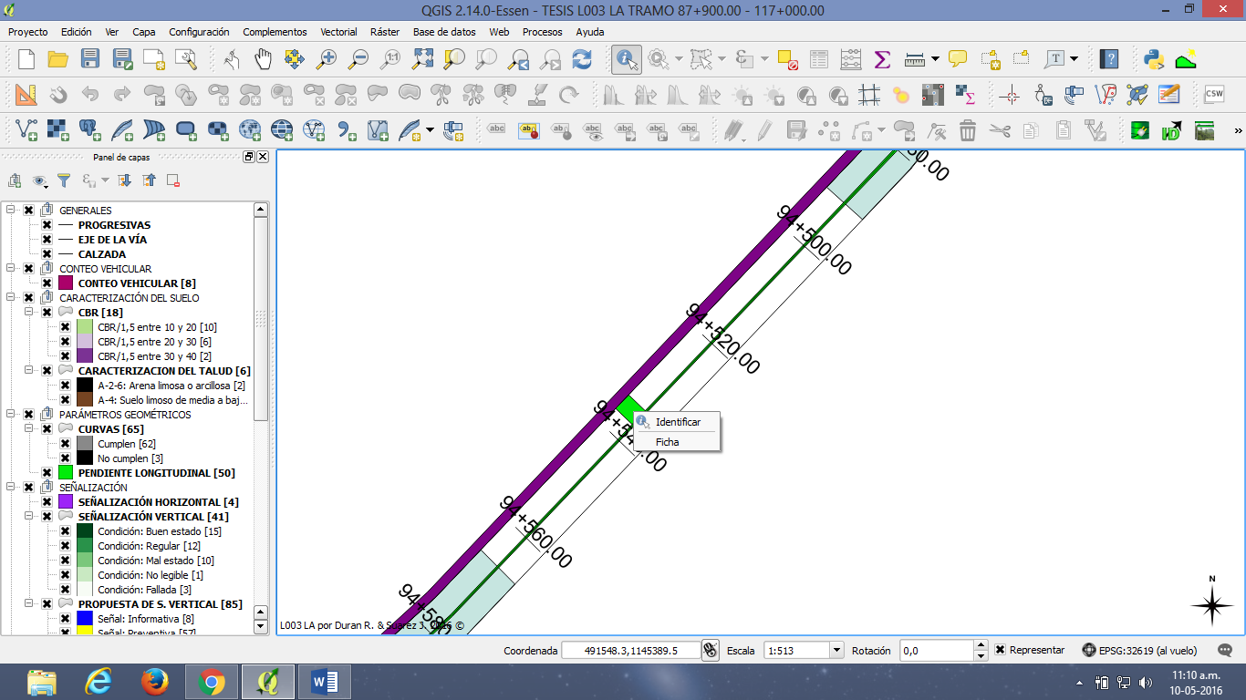
Local roads in Lara state, Venezuela, have been deteriorating progressively due to the lack of a scheduled maintenance plan by the authorities. Particularly, it is believed that the current situation of L003 LA road is consequence of the absence of information about both physical and functionality conditions of drainage system, state of the road signs, poor condition of the pavement, and other troubles about geometric parameters. Therefore, it was created a data base based in topographic planes studies of its transversal section, development of a PCI evaluation of its pavement and the inspection of its geometrical design. This data base was run in a system of geographical information so that it would be possible to update all the information periodically. Additionally, it was proposed a plan of improvements for 29.10 km of the road, in which the PCI evaluation results were regular due to the poor conditions of the drainage system; and where the visibility and road signs were unsatisfactory.
Downloads
References
J. Colmenares, I. González y K. Rosas, Propuesta De Mejora para la Carretera L003 LA, Tramo Destino R003 (Licua)-Fin Variante Duaca, Entre Las Progresivas 107+700.00 A 112+300.00 Utilizando Sistemas De Información Geográfica (S.I.G.) para Su Registro, 2014
W. Alejos, R. Romero y L. Túa, Determinación de las Condiciones Actuales, Físicas y Geométricas de las Carreteras Nacionales de Acuerdo a las Normas Vigentes, Utilizando Sistemas De Información Geográfica (S.I.G) para su Registro y Propuesta para su Mejora. L003 La Tramo Lim. Edo. Yaracuy–Dest. De R003 (Licua) Progresivas 87+900.00 – 93+400.00. 2012
L. González, C. Oropeza, y Y. Rojas, Diagnóstico y Registro de las Condiciones Físicas y Geométricas de las Carreteras Nacionales De Acuerdo a las Normas Vigentes, Utilizando Sistemas De Información Geográfica (S.I.G), y Propuesta Para Su Mejora. L003 La Progresivas 93+400– 98+900. 2012
J. Briceño y J. Pérez, Determinación de las Condiciones Actuales, Físicas y Ggeométricas de las Carreteras Nacionales de Acuerdo a las Normas Vigentes, Utilizando Sitemas de Información Geográfica (S.I.G.) para su Registro y Propuesta para su Mejora, L003 LA en el Tramo con Destino R017 (Lícua)-Comienzo Variante Duaca, de Progresivas 103+300 a 107+700. 2013
A. Jugo, Método de Evaluación de Pavimentos (PCI), Versión en español, Caracas, Venezuela. 1987
Ministerio de Transporte y Comunicaciones, Normas para el Proyecto de Carreteras, Caracas, Venezuela, 1997.
Instituto Nacional del Transporte Terrestre. Manual Venezolano de Dispositivos Uniformes para el Control de Tránsito. Caracas, Venezuela, 2011
Ministerio de Obras Públicas. Manual de Drenaje. Caracas, Venezuela, 1967
C.A. Hogentogler y K. Terzaghi, Interrelationship of load, road and subgrade.. American Associattion of State Highway Officials. 1929
G. Corredor, Apuntes de Pavimento, Volumen 1, Universidad Santa María, Universidad Católica Andrés Bello, Venezuela, 2004
Published
How to Cite
Issue
Section
The opinions expressed by the authors do not necessarily reflect the position of the editor of the publication or UCLA. The total or partial reproduction of the texts published here is authorized, provided that the complete source and electronic address of this journal is cited. Authors have the right to use their articles for any purpose as long as it is done nonprofit. The authors can post on the internet or any other media the final approved version of their work.


.png)